22nd July to 2nd August 2024
SS1110: 6 ECTS / 3 Semester Academic Credits awarded. Course fees include tuition, accommodation in our superior, fully equipped self-catering building, materials, local transport, lectures and seminars as well as academic credit.
Dates: 22nd July – 2nd August 2024
Duration: Two weeks
Cost: €1595
This course is fully accredited by the University of Galway, and students who successfully complete the course will receive 3 Semester Credits or 6 ECTS points.
Course tutor: Dr Rachel Tracey, former Research Fellow of Trinity College, Dublin (TCD).
This module is focused upon the identification, recording and conservation of ceramics from archaeological sites AD1650-1900. The combination of lectures and practical assignments will illustrate the differences between various types of ceramics, practice drawing ceramics for publication and evaluate how interpretation of a ceramic assemblage is influenced by the depositional processes that led to their inclusion in the archaeological record. The first part of the course will see students receiving instruction on the correct handling, cleaning, conservation and identification of a variety of ceramics/sherds. Through a combination of lectures, excavations and workshops, the students will gain knowledge of the differences between various types of ceramics, learn how to draw and illustrate ceramics for publication and evaluate how interpretation of a ceramic assemblage is influenced by the depositional processes that led to its inclusion in the archaeological record. The second part of the course will see students receiving instruction on photographing ceramics, highlighting the problems of taking close-up views of small objects and a variety of solutions that permit good artefact photography using a range of equipment.
About the 2024 Dig Site
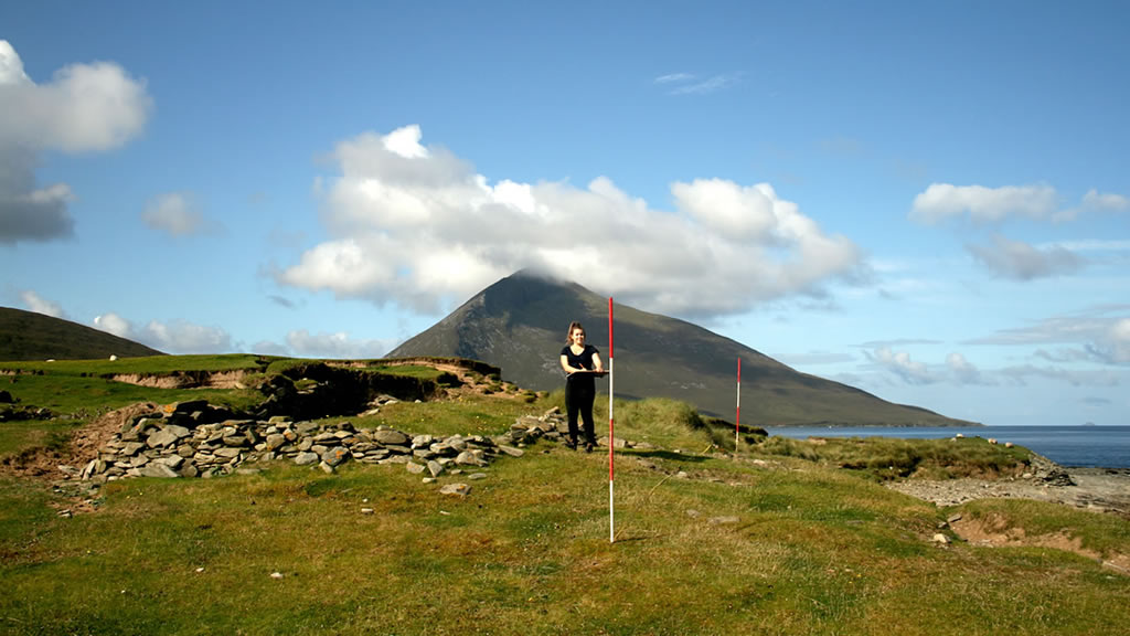
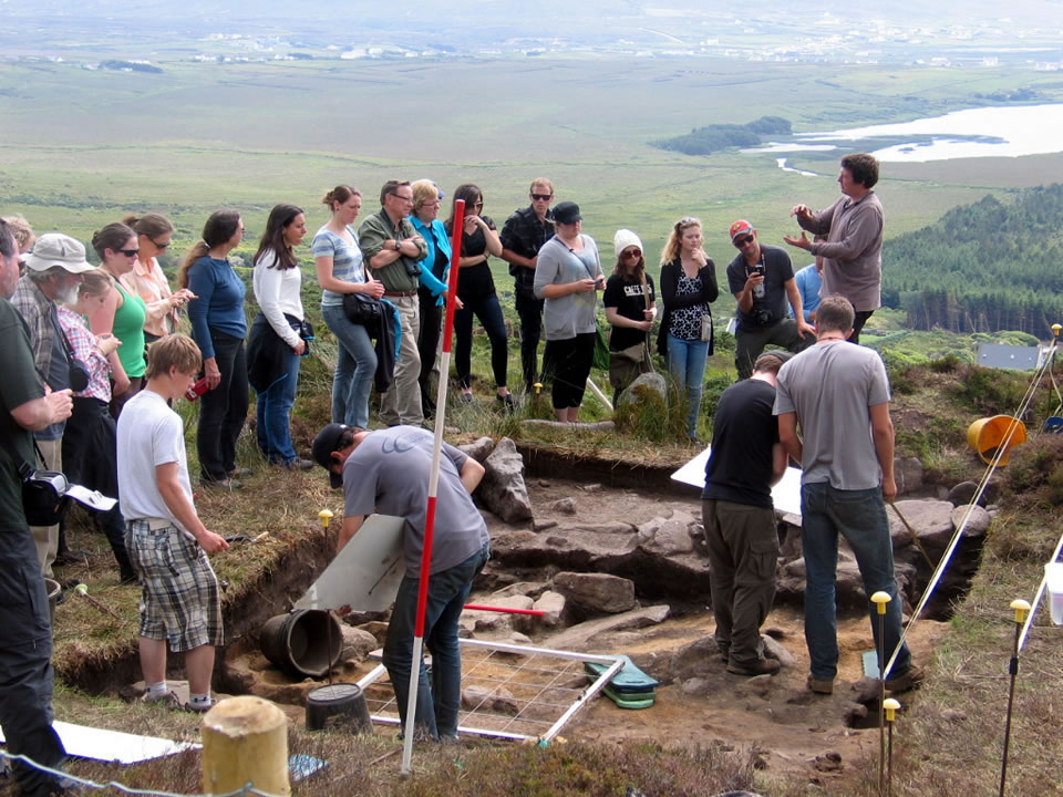
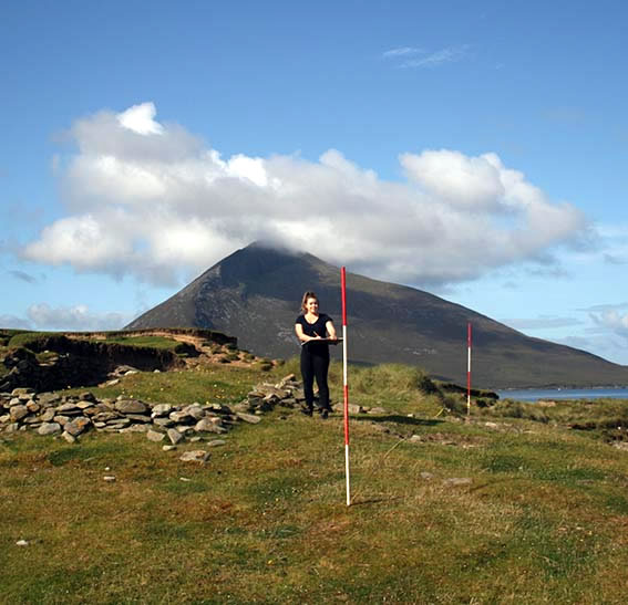
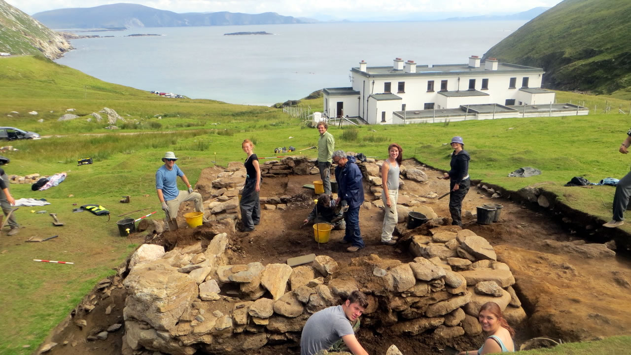
ARCHAEOLOGICAL ‘DIG’ AT CARAUN POINT, TONATANVALLY, ACHILL ISLAND, COUNTY MAYO
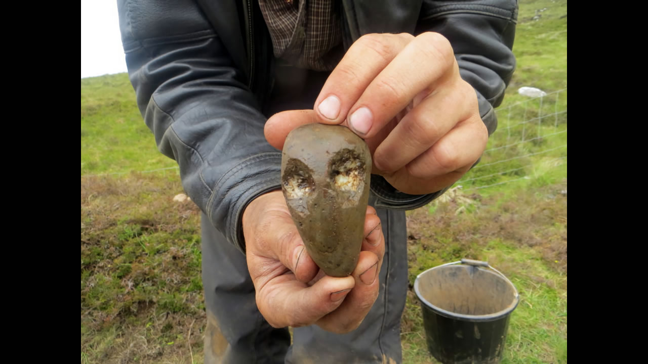
In 2024, Achill Archaeological Field School will return to Caraun Point for a third season of excavation. The primary focus of the 2024 season will be two drystone houses and a shell midden which date to the post-medieval period, or earlier. The houses are in a dynamic coastal environment which is constantly evolving due to wind and wave action. Previous excavations on the site recovered a quantity of artefacts that included glass and pottery, along with animal bone and shellfish remains. Analysis of these objects give us an insight into the livelihood and diet of the people who lived here. One unexpected discovery was the presence of a probable Early-Medieval ringfort immediately to the west of our excavation. Habitation deposits associated with this site were evident beneath the post-medieval houses and some artefacts of 8th to 10th century date were recovered. This year’s excavation season looks like it will be fascinating.
We accept students of 17 years of age and upwards who must be physically fit, as fieldwork is quite strenuous.