15th August to 2nd September 2022
SS1109: 6 ECTS / 3 Semester Academic Credits awarded. Course fees include tuition, accommodation in our superior, fully equipped self-catering building, materials, local transport, lectures and seminars as well as academic credit.
Dates: 15th August – 2nd September 2022
Duration: Three weeks
Cost: €2295
This course is fully accredited by the National University of Ireland, Galway, and students who successfully complete the course will receive 3 Semester Credits or 6 ECTS points.
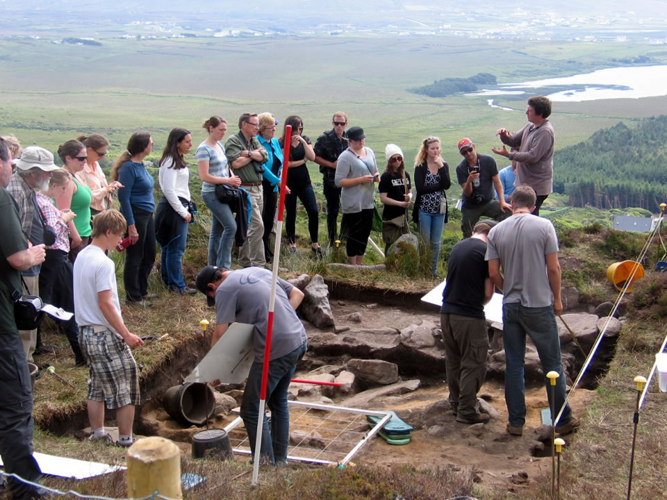
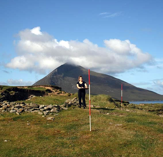
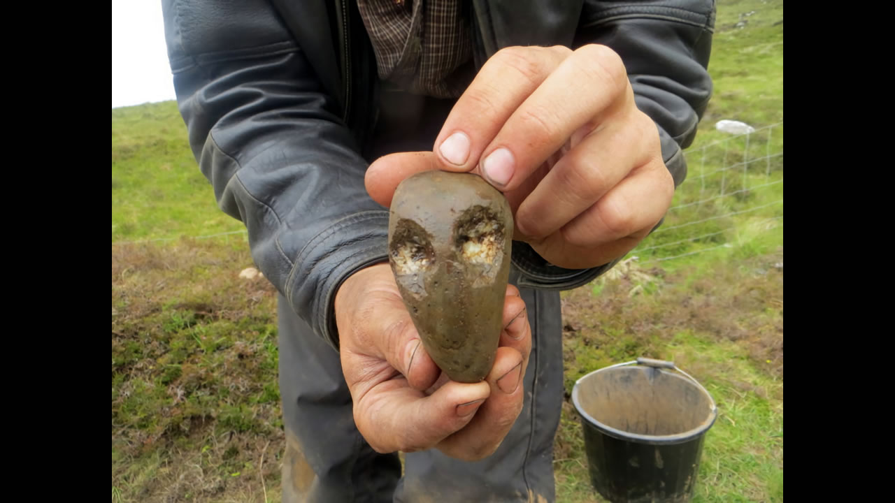
This module is focused upon students who wish to undertake their own research projects and present primary research rather than working only from secondary sources. Each week will focus on a particular aspect of archaeological fieldwork. Students will excavate a small trench which will demonstrate all common aspects of archaeological excavation. This is excavation in microcosm and will involve very intensive instruction to give the students a full understanding of the process of excavation. Students will undertake a wide variety of different types of field survey. Each day the students will visit an archaeological site on Achill and undertake different types of field survey. The course will include detailed instruction on surveying sites with different techniques to produce written accounts, plans, sections and elevations. Working with the results of the previous two weeks field projects the students will learn how to enter data into the computer and use different software to illustrate the results. Students will gain a practical working knowledge of such programs as Inkscape and QGIS and by the end of the week will have all the skills needed to produce professional looking illustrations to accompany their field studies.
At this time we only require an application from prospective students. A firm commitment, in the form of a deposit, will be required when your course is confirmed.
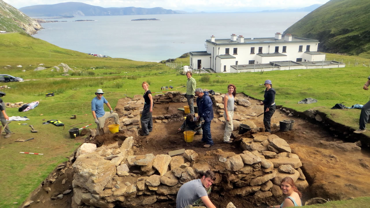
About the 2022 Dig Site
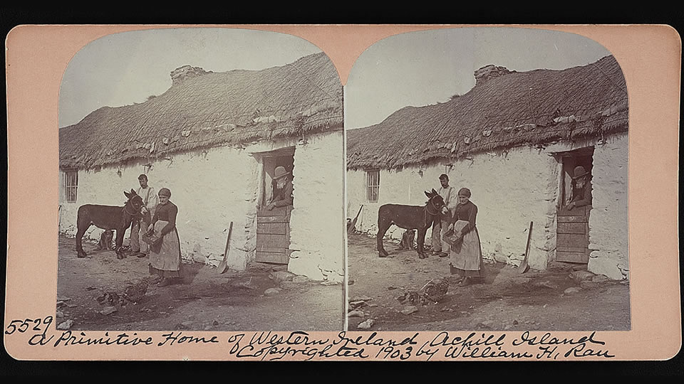
In 2022, the primary focus of work will be the excavation of two drystone houses at Tawnaghmore (translates as great meadow), a small enigmatic settlement, which probably dates to the late/post medieval period (AD1380-1900). Tawnaghmore is a nucleated settlement of 16 unplanned houses running in a linear fashion over 170m of ground at an elevation of 97m asl. The site is located on ground sloping gently south-eastwards, along the left and right banks of the Abhainabhaile (Townland River), which flows in a south easterly direction and enters the sea at Dooagh village. Access to Tawnaghmore from Dooagh is along the banks of this river, following a bog road, a narrow grass-covered track and a glacial ridge to reach the site. There is no visible road/track into the settlement. To the north east is a grass and bog covered linear settlement with an unknown number of houses called Caislean (small stone fort) which may suggest the presence of a Cathair (stone fort) in this area sometime in the remote past. A pollen core taken in 2005 indicated the presence of a deciduous forest in this area during the mid to late Neolithic (Caseldine, C. 2005, 169-178). The settlement appears on maps dated to 1809 and 1838 but little is known about its period of occupation or abandonment. The houses are relatively large, have some unusual features and are sub-rectangular in shape. We look forward to an exciting project in 2022.
