1st – 12th August 2022
SS108: 6 ECTS / 3 Semester Academic Credits awarded. Course fees include tuition, accommodation in our superior, fully equipped self-catering building, materials, local transport, lectures and seminars as well as academic credit.
This course is fully accredited by the National University of Ireland, Galway, and students who successfully complete the course will receive 3 Semester Credits or 6 ECTS points.
SS108: Data Analysis (3 Semester Credits/6 ECTS Credits)
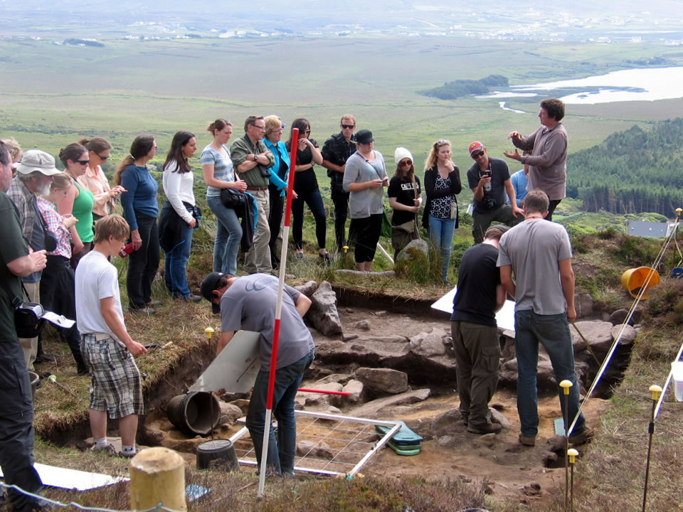
Field work during the final element sees the completion of the excavation and its post excavation restoration and then introduces the student to a broad range of subjects involving archaeological sites and their setting in the landscape, such as upland surveys, identifying new sites, recording standing monuments and analysing inter-site relationships and morphological settings. Lectures review the development of the discipline of Archaeology in Ireland and the ethical challenges facing the archaeological profession in the early 3rd Millennium whilst workshops focus on preparing the work so far undertaken for final publication.
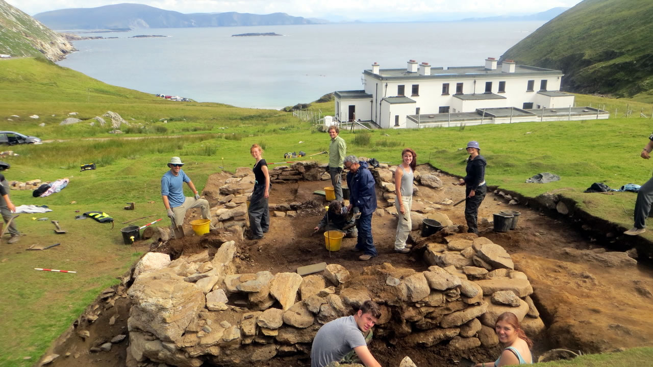
About the 2022 Dig Site
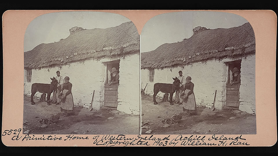
In 2022, the primary focus of work will be the excavation of two drystone houses at Tawnaghmore (translates as great meadow), a small enigmatic settlement, which probably dates to the late/post medieval period (AD1380-1900). Tawnaghmore is a nucleated settlement of 16 unplanned houses running in a linear fashion over 170m of ground at an elevation of 97m asl. The site is located on ground sloping gently south-eastwards, along the left and right banks of the Abhainabhaile (Townland River), which flows in a south easterly direction and enters the sea at Dooagh village. Access to Tawnaghmore from Dooagh is along the banks of this river, following a bog road, a narrow grass-covered track and a glacial ridge to reach the site. There is no visible road/track into the settlement. To the north east is a grass and bog covered linear settlement with an unknown number of houses called Caislean (small stone fort) which may suggest the presence of a Cathair (stone fort) in this area sometime in the remote past. A pollen core taken in 2005 indicated the presence of a deciduous forest in this area during the mid to late Neolithic (Caseldine, C. 2005, 169-178). The settlement appears on maps dated to 1809 and 1838 but little is known about its period of occupation or abandonment. The houses are relatively large, have some unusual features and are sub-rectangular in shape. We look forward to an exciting project in 2022.
